Geology 9
Prof. Garcia Garcia
9 December 2018
Fiji Final Hazards Report
Now that I have scratched the surface on a country I had
never previously studied, I feel capable enough to inform (to my best knowledge)
the most dangerous hazards in Fiji. Fiji is a beautiful and tropical set of
islands but hosts the dangers of tsunamis and earthquakes.
Tsunamis:
Fiji struggles with tsunamis hitting the coast line rough
around the eastern islands of Fiji. The waves come off of the south and east
because the country mainly sits atop of the eastern Pacific plate as well as
the Indo- Australian plate. Previous data shows 71 percent of the
confirmed tsunamis in the world have occurred in the Pacific Ocean and its
marginal seas. I believe this hazard is one of the most dangerous in this
region because the highly inhabited eastern island of Suva has the Suva Tsunami
Hazard Zone. Recommendations for tsunamis that I would present include constant
alert on radio and media outlets broadcasting warnings, leaving the low ground
to higher safer areas, and the addition of a self-evacuation route. The place I
would target help first is the eastern islands primarily the Suva Tsunami
Hazard Zone. They are obviously more susceptible and need more aid.
Earthquakes:
 |
| List of seven most recent earthquakes according to USG website |
Not only is Fiji threatened by tsunamis, but earthquakes
impose just as much of a hazard. I also mention earthquakes as a priority hazard
because they also bombard the south and east islands of Fiji like tsunamis. Earthquakes
strike this region due to the Pacific and Indo- Australian plate that Fiji stands
between. If you noted that, it is similar as tsunamis and that is because earthquakes
and tsunamis going hand in hand. A big enough earthquake triggers a tsunami but
not every earthquake is large enough to do so. Not to undersize the damage an
earthquake alone can do to one of these islands. As far as recommendations go
for earthquakes I would advise seeking stable buildings, abandoning or being
aware of (common) unsturdy homes/buildings, and enforce evacuation plans for
businesses/schools/hospitals/etc. The main target help would go to the south
and southeast islands. Mainly but not limited to the islands of Kadavu, Lau,
and Levuka.
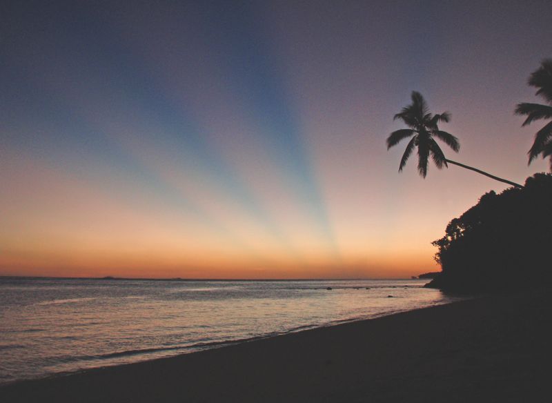
My "own" home:
 |
| Top right is Taveuni Island |
If I were fortunate enough to ever live and have the
opportunity to construct a home on Fiji, then that would be astounding. After a
semester filled with weekly dives into the country that is Fiji I found the ideal
island weeks ago. Taveuni Island is best suited for what I would want to
accomplish in a life in Fiji. Taveuni is a more remote island and locals refer to
it as the Garden Island. There is a lot of lush green, warm water, secluded beaches,
and not a lot of industry. Taveuni is north east of the main islands which means
it is one of the safer islands to inhibit. Farming is a big driving force for
the economy on the island and opening a family owned farm there would be what I’d
do in a life in Fiji.
Sources: